Geographic Information Systems (GIS)
Site Evaluation & Location Analysis (learn more)
Ploughman helps clients select locations for facilities, whether the client is engaged in acquisition, transformation of existing facilities, or green-field construction. Analyses can include broad evaluations ofa region or an analytical comparison among many specific sites. We help clients consider any number of metrics that are identified by the client or recommended by Ploughman.
Land Use & Land Cover Classification (learn more)
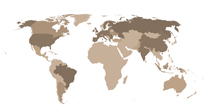
Ploughman processes satellite imagery to identify various land-use classes to allow for timely analysis. The use of time-series imagery allows clients to see the patterns of land use over time despite limits in available data caused by cloud cover and other factors.Market Region Analysis (learn more)
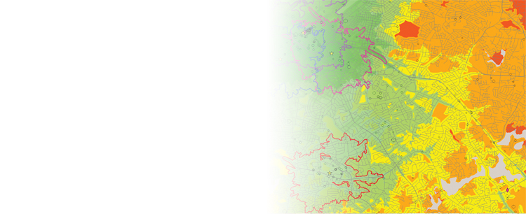
By collecting pertinent business, demographic, production, consumption, and infrastructure data, Ploughman can produce a snapshot of market zones for locations in a region. Ploughman can also reveal patterns and trends that are difficult to identify except through analyses of data across multiple sources.Custom Mapping (learn more)
Ploughman has created high-quality large-size print maps for clients to display to customers and investors. Ploughman understands the value of aesthetically pleasing maps that also convey substantial information cleanly. These maps can include a variety of information overlays to augment the maps themselves.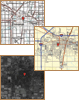
Ploughman Analytics, Inc.
3309 Cypress Creek Road
Champaign, IL 61822
(217) 693-4000
